Satlas
SATLAS: AI-Powered Geospatial Data Exploration with Super-Resolution Imagery
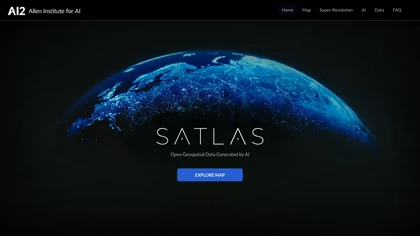
About Satlas
SATLAS is an innovative AI platform developed by the Allen Institute designed to transform how users explore and analyze geospatial data.
Utilizing advanced computer vision algorithms, SATLAS takes low-resolution satellite images and applies super-resolution techniques to produce high-resolution, detailed imagery.
This enhancement allows for more precise analysis in various fields including environmental monitoring, urban planning, disaster response, and agricultural management.
The platform offers a user-friendly interface that makes it easy to access and analyze vast amounts of satellite data, providing insights that were previously difficult to obtain due to resolution limitations.
By offering global-scale high-resolution imagery, SATLAS empowers researchers, policymakers, and businesses to make informed decisions based on detailed geospatial information.
Its cutting-edge technology bridges the gap between raw satellite data and actionable insights, making satellite imagery more accessible and useful for a wide range of applications..
Smart Features
- Utilizes state-of-the-art computer vision algorithms for super-resolution enhancement
- Transforms low-resolution satellite images into high-resolution, detailed visuals
- Enables comprehensive geospatial data analysis on a global scale
- Supports diverse applications such as environmental monitoring, urban planning, and disaster management
- User-friendly interface for easy data exploration and analysis
- Facilitates informed decision-making with detailed imagery
Use Cases & Applications
- Environmental monitoring and conservation efforts
- Urban development and infrastructure planning
- Disaster response and recovery analysis
- Agricultural management and crop monitoring
- Climate change research and tracking
- Global security and defense analysis
Who is it for?
- Researchers and scientists in geospatial and environmental fields
- Urban planners and infrastructure developers
- Disaster response teams and emergency management agencies
- Agricultural professionals and farm managers
- Government agencies and policymakers
- Data analysts and AI developers working with satellite data
Business Opportunities in Satlas
Leverage SATLAS's advanced satellite imagery enhancement to offer specialized geospatial analysis services.
By providing high-resolution insights to clients in sectors like agriculture, real estate, or environmental consulting, entrepreneurs can create a profitable niche.
Developing custom reports, mapping solutions, or real-time monitoring services using SATLAS technology can generate additional revenue streams and establish a competitive edge in the growing geospatial data market..
Monetize AI with Bluerader & Livepetal
Bluerader has partnered with Livepetal Systems to provide individuals with practical pathways to monetize artificial intelligence and generate sustainable income. Whether you're looking to create and sell digital solutions or earn by promoting them, this opportunity is designed to help you succeed.
-
For Creators
Learn how to use AI to develop market-ready digital products and solutions. From automation tools to educational resources, you'll gain the skills and systems to sell globally with ease.
Start as a Creator -
For Promoters
Earn passive income by promoting ready-made AI tools and digital solutions. The entire process is automated, allowing you to generate consistent sales and commissions with minimal effort.
Start as an Affiliate
Whether you're a digital professional or just exploring the possibilities, this initiative provides a reliable framework to build an income stream around AI.
Featured Tools
Google Gemini
Google Gemini: Advanced AI Assistant and Chatbot for Daily T...
Rytr.me
Rytr: AI Writing Tool for Creating Diverse, Original Content...

Nyota
Nyota: AI-Powered Meeting Notetaker with Automation and CRM ...
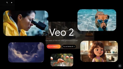
Veo3 - Deepmind
Veo3: Advanced 4K Video Generation Model with Realistic Moti...
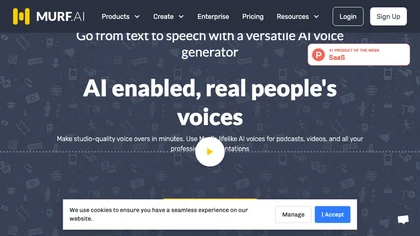
Murf.ai
Murf AI Voice Generator: Realistic, Multilingual Voice Solut...
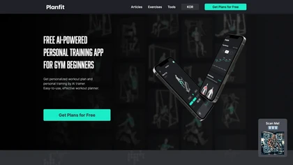
Planfit - Personal Trainer
AI-Powered Workout Planner for Beginners with Personalized T...
Similar Tools
Other tools in the Research category.
Sponsored Tools
Check out these promoted tools.